A river channel survey was undertaken for Council by Staig & Smith surveyors in 2020. An unmanned aerial vehicle (UAV), also referred to as a drone, was flown along the channel from The Haven to just upstream of Sunday Hole. Alongside this survey, Staig & Smith also completed a laser scanning survey of all road bridges over the Maitai River between the SH6 bridge and Gibbs Bridge, as well as the Domett Street bridge over the Brook Stream.
These surveys were used to update river channel cross-sections in the flood model. In addition, bridge structures were able to be represented with much greater detail and precision with the outputs from the bridge laser scanning. This new data, alongside a robust model calibration process, has significantly increased confidence in the flood model outputs.
The survey outputs have been compiled to create a flythrough video and an interactive web viewer. The flythrough video starts at The Haven and travels upstream passing over 8 road bridges.
Navigate around the Maitai River Survey Web Viewer
Maitai River Flythrough
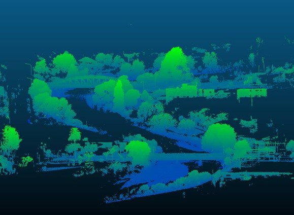
Point cloud image of Trafalgar Street and Collingwood Street bridges

State Highway 6 bridge: Laser scanning output


